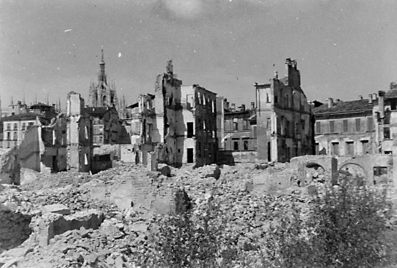

Copyright: NCAP
We already wrote about online resources related to the aerial photography of the Insubrica region, particularly the resources offered by geo.admin.ch and many other examples found on the website Smapshot. While preparing the article on the bombardment of the Verbania area during 25-26.9.1944 we stumbled on a new resource.
The British National Collection of Aerial Photography offers a large database of aerial pictures taken during the Second World War over Europe. To access the site, simply follow the above URL. Once on the website, click for Browse NCAP, and then select the feature Map. You can then use the zoomable map to find images related to the particular region that you look for.
Click then further on the markers to open the images or view Finding Aids for a selected area. The pictures can be downloaded for personal use or posted on a blog, as it is the case for Insubrica Historica, as long as the publication is freely available. The pictures can also be bought.
There are surprisingly few pictures related directly to the Insubrica region. There are a couple of pictures for the area surrounding Varese, particularly Cislago, and few others around Chiavenna.
Nevertheless, NCAP remains an interesting online website and resource that gives rare views of an Europe torn apart by the conflict of the Second World War.
Sources:
- The National Collection of Aerial Photography:https://ncap.org.uk/frame-download/1-1-216-1-227